[ad_1]
In the forecast, he wrote that the cold in Lithuania took a while, “but a thaw is expected in the near future, and this is probably good news.”
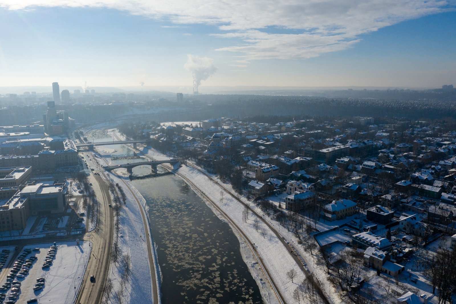
“Even a cold of -20 ° C at this time of year, due to the relatively long duration of the day, decreases by at least 10-12 degrees during the afternoon. Of course, the daily change in air temperature also depends to a great extent the properties of the air mass, the amount of clouds and their change, and the microclimatic characteristics of the area. For example, today the lowest air temperature was recorded in Dūkste (–23.6 ° C), yesterday in Utena (–26.2 ° C) and on Tuesday in Varėna (–21.9 ° C) ”, wrote G. Stankūnavičius.
He stated that all the weather stations mentioned above are characterized by a more frequent recurrence of extreme air temperatures.
“In Dūkste, on average during the season, and in Utena and Varėna favorable circulation conditions (light wind, low clouds). In Utena this is due to the local relief, and in Varėna, due to the properties of the soil. Although it has seemed cold in the mornings of the last days, the cold records of February have not been reached, “he said.
Unusual phenomena in the US
As you know, on the other side of the world, in the US, it is cold this week, even where heavy frosts are not typical. G. Stankūnavičius called such phenomena an anomalous cold.
“For example, in Dallas, the third largest city in Texas, the minimum temperature dropped from -15 to -17 ° C on Tuesday and Wednesday, and the maximum (Tuesday) was below -5 ° C. The average temperature in February, which is around +5 – +16 ° C in this city, shows that it is a very anomalous cold, “wrote the climatologist.
Even mild frosts reached the Gulf of Mexico, where the coastal water temperature reaches +15 – +17 ° C.

“The temperature in Houston dropped to -10.6 ° C on Tuesday night, and in Brownsville (the southernmost city in Texas and the entire United States), which belongs to the tropical climate zone, to -2.2 ° C “, G. Stankūnavičius wrote on Facebook.
He said if the cold came to the Baltic region slowly enough from the northern part of Eurasia, then to the southern United States, then rather quickly, in less than a week, from the southern parts of the Canadian provinces of Manitoba and Saskatchewan. (around 50-53 ° north).
“An anomalous cold weather will still persist in the Midwest and South of the United States for the near future, but such extreme temperatures are no longer expected. Instead, it will be hot in the spring in western and central parts of Canada.” He said.
The thaw is waiting
Climatologist G. Stankūnavičius explained that the very cold air mass above the ground is usually inelastic due to its higher density. Therefore, it can only be displaced by an intense and large-scale factor, such as a deep cyclone.
“An Atlantic cyclone of this type is approaching the west coast of Scotland today (pressure at 960 hPa), which will slow down in the next few days, will move towards the Norwegian Sea and air will begin to circulate from the mid and subtropical latitudes of the North Atlantic, “wrote one climatologist.
G. Stankūnavičius stated that on Saturday the atmospheric front would pass from the southwest through the territory of Lithuania and would bring some snow and sleet, mainly in the eastern districts.
“It will get warmer everywhere, mostly in the western and southwestern part of Lithuania. The daily average air temperature there will be positive and the maximum will rise to +5 ° C, and in some places more. In the eastern part of Lithuania , the average daily air temperature will remain close to 0 ° C for most of the week, “he said.
The climatologist predicted that the thaw in Lithuania would last at least a week or more, and we could expect more pronounced climate changes in early March.
The last defrost this time should last at least a week or more. We could expect more significant climate changes only in early March, wrote G. Stankūnavičius.
“This period will be favorable for the intensive melting of the snow cover in Lithuania, but we could expect the flooding in the rivers to start at least next week, if the warm weather lasts longer,” he said.
Spring weather is already waiting for the western and southwestern parts of Europe
In the rivers of western Europe (Massa, Rhône, Seine and the central basins of the Rhine) floods of varying intensity are expected in the first half of next week.
“By the way, Western Europe is not characterized by spring floods, but the peak of possible floods this year corresponds to this period due to the formation of a temporary snow cover, and in some places it even freezes. The week that is coming, true spring weather is expected in the western and southwestern part of Europe, ”wrote G. Stankūnavičius, associate professor in the Department of Hydrology and Climatology at Vilnius University.

In France, the Benelux countries and northwestern Germany, daily temperatures will be +15 to +18 ° C, and in southwestern France and southern Portugal from +18 to +20 ° C. The climate will be mostly no rain, with the exception of the Iberian Peninsula, the British Isles and Scandinavia.
According to G. Stankūnavičius, according to the European Center for Medium-Range Forecasts, the air temperature across the entire southern Baltic region in the first and second decades of March is expected to be close to the perennial average, with further cooling expected near. in the first days of March.
It is strictly prohibited to use the information published by DELFI on other websites, in the media or elsewhere, or to distribute our material in any way without consent, and if consent has been obtained, it is necessary to indicate DELFI as the source.
[ad_2]
