[ad_1]
The average market values of the parcels and buildings determined according to the land value maps are used to calculate the value of taxes, determine the sale or rental prices of state properties, calculate the taxes in case of inheritance, donation, determine prices for notarial services when approving transfer transactions and other purposes. in the report.
The recently approved land value maps consist of 1,399 value zones. Compared to 2020, a range of 51 values has been established. In 2020, there were 1,348 such zones, in 2019-1261, and in 2004, when the value maps started, there were 413 such zones throughout the territory of the Republic of Lithuania. Each year more and more value zones are established as this aims to identify specific value lands that best suit prices and trends in the real estate market.
Land value maps are prepared annually by the State Property Records Center and reviewed and approved by the National Land Service. NJT approved land value maps are used by the State Business Records Center in the preparation of electronic spreadsheets, based on which the value of a specific parcel of land can be determined.
Land value zones are determined based on transactions and their values in a specific zone during the previous calendar year.
Property tax is recalculated every 5 years, the last time it was recalculated in 2018, so it will not change this year or next. The land tax will be recalculated in 2023. Municipalities also use land value maps to calculate the amount of land rent.
In general, the average market values of plots in the Republic of Lithuania, compared to 2020, as of 2021. January 1 increases 1.06 times: decreases in the municipality of Pagėgiai (0.99 times), in other cities and districts increases from 0.01 times (Druskininkai, Kalvarija, Kelmė district, Klaipėda district, Šiauliai city, Vilnius district municipalities) to 1.29 times (In Šakiai district municipality).
Assessment of individual land groups, the average market value of parcels compared to 2020, as of 2021 January 1 The average market value of residential land in the municipalities of the city district of Alytus, Kalvarija, Marijampolė and Šiauliai is decreasing (from 0.96 to 0.99 times), in Druskininkai, Klaipėda district, Kretinga district and municipalities of Radviliškis district does not change, while in other cities and in the territories of districts it increases (from 1 , 01 to 1.18 times).
The average market value of commercial land in Alytus city and district, Šiauliai district and Utena district municipalities is decreasing (from 0.95 to 0.99 times), in Marijampolė district municipalities and Šakiai does not change, in other territories it is increasing (from 1.01 to 1.18 immediately).
Average market value of land parcels for hobby gardens in Druskininkai, Joniškis district, Pakruojis district, Radviliškis district, Skuodas district, Šiauliai district and Vilnius city municipalities does not change, in other territories it increases (1.01 to 1.28 times). The average market value of industrial and storage plots in Kalvarija, Šiauliai district, Vilkaviškis district and municipalities of Utena district is decreasing (from 0.96 to 0.99 times), in Druskininkai and Kazlų Rūda municipalities does not change, in other territories it is increasing (from 1.01 to 1.19 times).
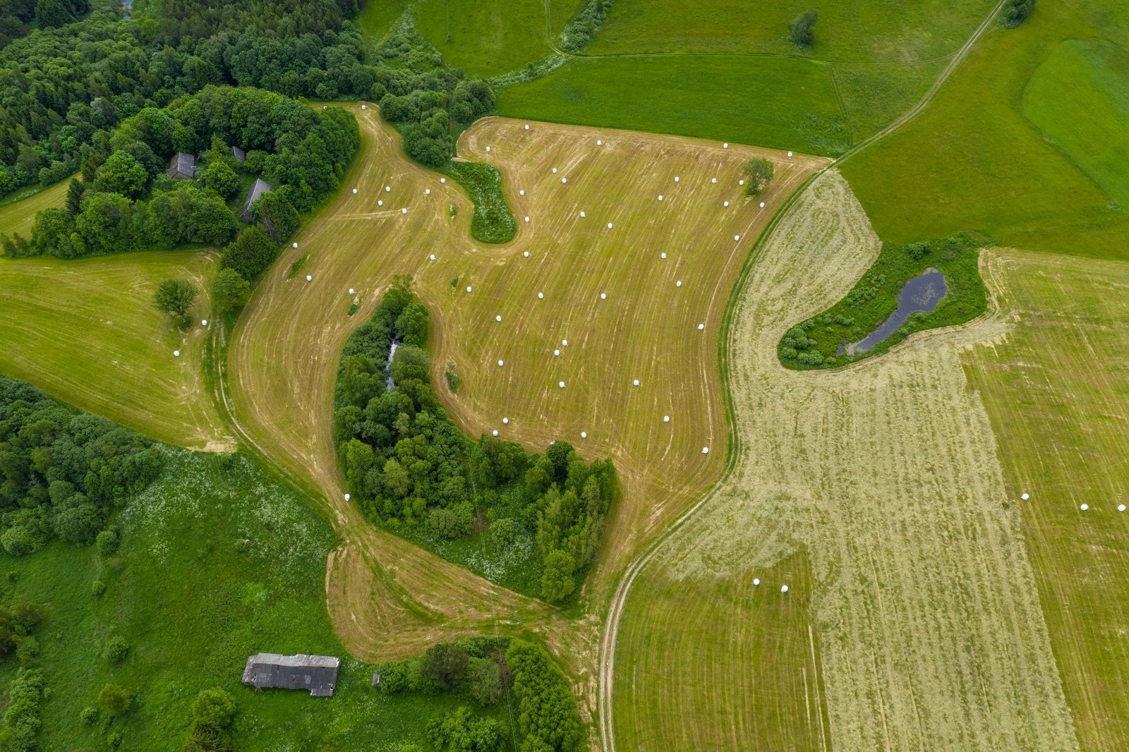
The average market value of agricultural parcels in the city of Alytus and the municipalities of Pagėgiai decreases (from 0.98 to 0.99 times), and in other territories it increases (from 1.01 to 1.31 times).
It is strictly prohibited to use the information published by DELFI on other websites, in the media or elsewhere, or to distribute our material in any way without consent, and if consent has been obtained, it is necessary to indicate DELFI as the source .
[ad_2]
