Updated: September 15, 2020 10:34:16 pm
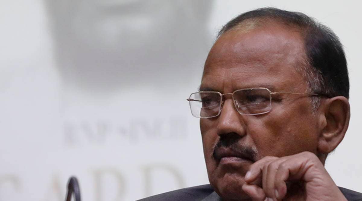
 The NSA Ajit Doval walked out of the meeting midway after consulting with the Russian NSA.
National security adviser Ajit Doval left the meeting of NSA members of the Shanghai Cooperation Organization (SCO) on Tuesday after Pakistan “deliberately projected a fictitious map” of the country in “blatant disregard for the host’s warning. ” Russia.
In response to a press conference inquiry, Foreign Ministry (MEA) spokesperson Anurag Srivastava said that NSA Ajit Doval left the virtual meeting after Pakistan’s representative, Dr. Moeed Yusuf, screened in the background the new political map of the country that represents Jammu. and Kashmir as disputed territory, and it claims the Sir Creek regions and the former Junagadh state in Gujarat as part of its territory.
“At the meeting of the National Security Advisers (NSA) of the member states of the Shanghai Cooperation Organization (SCO), organized by the President of the SCO (Russia), the Pakistani NSA deliberately projected a fictitious map that Pakistan has been spreading recently, ”Srivastava said.
He added that the display of the map was in “blatant disregard for the host’s (Russia) warning against him and in violation of the meeting’s rules.” After consulting the Russian NSA, Doval walked out of the meeting in protest at that juncture.
“Unsurprisingly, Pakistan went on to present a misleading view of this meeting,” the MEA said. Pakistan’s ruling party, PTI (Pakistan Tehreek-e-insaf), claimed that the SCO accepted its position regarding the new political map of the country and overrode Doval’s objections before it left the meeting in protest.
the new political map of pakistan It was introduced by Prime Minister Imran Khan on the eve of the first anniversary of the withdrawal of Jammu and Kashmir’s special status under Article 370.
The map shows the entirety of Jammu and Kashmir as a disputed territory, while incorporating Siachen as part of Pakistan. It shows no borders in eastern Kashmir, where China has illegally occupied Aksai Chin. It also incorporates Sir Creek into Pakistani territory, as well as parts of the former princely state of Junagadh.
India has rejected the authenticity of the map, calling it “an exercise in political absurdity.”
“This is an exercise in political absurdity, making unsustainable claims on territories in the Indian state of Gujarat and our union territories of Jammu and Kashmir and Ladakh. These ridiculous claims have no legal validity or international credibility. In fact, this new effort only confirms the reality of Pakistan’s obsession with territorial aggrandizement supported by cross-border terrorism, ”the MEA said in a statement at the time.

For the latest news about India, download the Indian Express app.
.