Updated: December 14, 2020 2:28:56 pm
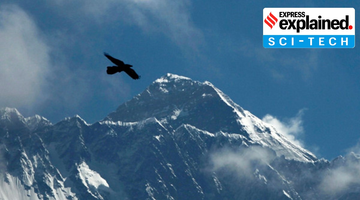
 A bird flies with Mount Everest seen in the background from Namche Bajar, Solukhumbu District, Nepal. (AP / PTI photo)
First, how do you measure the height of any mountain?
The basic principle that was used above is very simple and uses only trigonometry that most of us are familiar with, or at least can remember. There are three sides and three angles in any triangle. If we know three of these quantities, as long as one of them is a side, all the others can be calculated. In a right triangle, one of the angles is already known, so if we know any other angle and one of the sides, the others can be found. This principle can be applied to measure the height of any object that does not offer the convenience of dropping a tape measure from top to bottom, or if you cannot climb to the top to use sophisticated instruments.
 Measurement with angles: when direct height measurement is not possible, a surveyor turns to trigonometry
Let’s say we have to measure the height of a pole or a building. We can mark any arbitrary point on the ground at a certain distance from the building. This can be our observation point. Now we need two things: the distance of the building from the observation point and the elevation angle that the top of the building forms with the observation point on the ground. Distance is not difficult to achieve. The elevation angle is the angle that an imaginary line would form if it joined the observation point on the ground with the top of the building. There are simple instruments with which this angle can be measured.
So if the distance from the observation point to the building is d and the elevation angle is E, then the height of the building would be d × tan (E).
Lieutenant General Girish Kumar is the Surveyor General of India and Nitin Joshi is the Deputy Surveyor General, Survey of India. The Survey of India’s responsibility is to prepare licensed maps, and its work involves conducting extensive land surveys and mapping of topographic features. Beginning in 1952, the Survey of India carried out an exercise to measure the height of Mount Everest (then known as Peak XV). That exercise measures altitude at 8,848 m (29,028 ft), which remained the accepted standard globally, until now.
Can measuring a mountain be that easy?
The principle is the same and ultimately we use the same method, but there are some complications. The main problem is that although you know the top, you do not know the base of the mountain. The question is from what surface are you measuring the height. Generally, for practical purposes, heights are measured above mean sea level (MSL). Also, we need to find the distance to the mountain. Today it seems easy, but there were no satellite images or GPS in the 1950s. So how do you find the distance from a mountain that you cannot physically go? Until then, no one had even climbed Mount Everest.
We can solve this problem by measuring the elevation angles from two different observation points in the same line of sight. The distances between these different observation points can be measured. Now we will deal with two different triangles, but with a common arm and two different elevation angles. Again, by following simple high school trigonometry rules, the height of the mountain can be calculated quite accurately. In fact, this is how we used to do it before the advent of GPS, satellites, and other modern techniques.
How accurate is this?
For small hills and mountains, the tops of which can be seen from relatively close distances, this can provide fairly accurate measurements. But for Mount Everest and other high mountains, there are other complications.
These again arise from the fact that we do not know where the base of the mountain is. In other words, where exactly does the mountain meet with the flat ground surface? Or, if the observation point and the base of the mountain at the same horizontal level.
The surface of the Earth is not uniform in all places. Because of this, we measure the heights from mean sea level. This is done through a painstaking process called high precision leveling. Starting from the coast, we calculate the height difference step by step, using special instruments. This is how we know the height of any city from mean sea level.
But there is an additional problem that must be faced: gravity. Gravity is different in different places. Which means that even the sea level cannot be considered uniform in all places. In the case of Mount Everest, for example, the concentration of such a huge mass would mean that the sea level would rise due to gravity. So local gravity is also measured to calculate local sea level. Today there are sophisticated portable gravitometers that can even be taken to mountain peaks.
But leveling cannot be extended to high peaks. So we have to resort to the same triangulation technique to measure the heights. But there is another problem. The density of the air decreases as we go up. This variation in air density causes the bending of light rays, a phenomenon known as refraction. Due to the difference in heights of the observation point and the mountain peak, refraction results in an error in the vertical angle measurement. This must be corrected. Estimating the correction of refraction is a challenge in itself. 
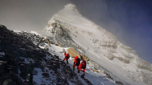
 In this May 27, 2020 photo, members of a Chinese surveying team head to the top of Mount Everest, also known locally as Mt. Qomolangma. (AP / PTI photo)
Doesn’t technology offer simpler solutions?
These days, GPS is widely used to determine coordinates and heights, even of mountains. But, GPS provides precise coordinates of the top of a mountain in relation to an ellipsoid which is an imaginary surface mathematically modeled to represent the Earth. This area differs from mean sea level. Similarly, laser-equipped airplanes (LiDAR) can also be used to obtain coordinates.
But these methods, including GPS, do not take gravity into account. Then the information obtained through GPS or laser beams is fed to another model that takes gravity into account to complete the calculation.
Taking into account that during 1952-1954, when GPS and satellite techniques and sophisticated gravimeters were not available, the task of determining the height of Mount Everest was not easy.
Nepal and China have said they have measured Mount Everest 86cm higher than the 8,848m it was known to be. What does that mean?
The measurement of 8,848 meters (or 29,028 feet) was made by the Survey of India in 1954 and has been accepted globally ever since. The measurement was carried out in the days when there were no GPS or other sophisticated modern instruments. This shows how accurate they were even during that time.
In recent years, several attempts have been made to re-measure Everest, and some of them have produced results that vary from the accepted height by a few feet. But these have been explained in terms of geological processes that could be altering the height of Everest. The accuracy of the 1954 result has never been questioned.
Most scientists now believe that the height of Mount Everest is increasing at a very slow rate. This is due to the northward movement of the Indian tectonic plate pushing the surface upward. It is this same movement that created the great Himalayan mountains in the first place. It is this same process that makes this region prone to earthquakes. A major earthquake, like the one that occurred in Nepal in 2015, can alter the height of mountains. Such events have occurred in the past. In fact, it was this earthquake that prompted the decision to re-measure Everest to see if there had been any impact.
An increase of 86 cm would not be surprising. It is quite possible that the height has increased in all these years. But at the same time, 86 cm at a height of 8,848 meters is a very small length. The detailed results of the Nepalese and Chinese efforts to measure Everest have yet to be published in a journal. The real meaning of this measure would become apparent only after that.
© The Indian Express (P) Ltd
.