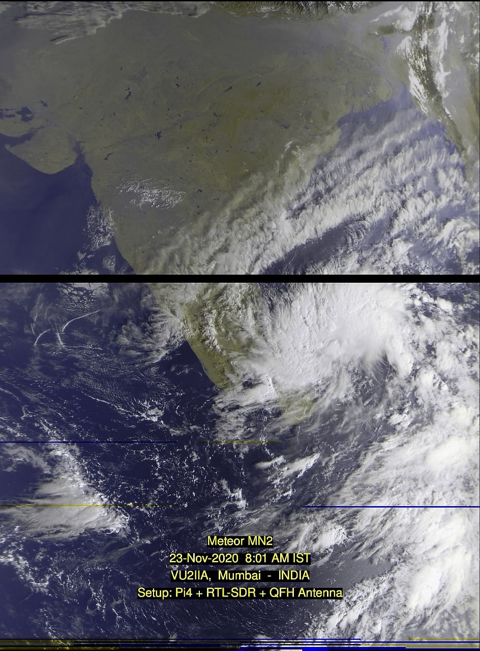
Six teams from the National Disaster Rescue Force have been dispatched to Cuddalore and Chidambaram districts in Tamil Nadu.
The Met forecasts a wind speed of 50 to 60 kilometers per hour.

People in low-lying areas have been asked to move to safe areas, monitoring officers are on alert, and fishermen have been asked not to venture into the waters.
In 2015, unprecedented rains caused flooding in Chennai.
However, officials have said not to worry, as levels at all dams are within safe limits.
Minister of Electricity, Prohibition and Excise, P Thangamani, said: “The electricity department is ready to handle the relief works. Power lines will be disconnected while the cyclone makes landfall to avoid adverse incidents. We have given preference to Cuddalore as heavy rains are expected in the region ”.
The public can call the 1992 helpline for electrical complaints.
Lead meteorological scientist KS Hosalikar tweeted: “… Low pressure area over the southwest and southeast of the Bay of Bengal persists … most likely to focus on depression … and intensify in cyclonic storm in the next 24 hours. It is very likely that it will cross between Karaikal and Mahabalipuram on November 25 at noon. “

Pradeep John, a weather blogger, pointed out that there could be two different scenarios:
1. Landing could be in Vedaranayam to Karaikkal from November 24 to 25 with a wind speed of 70 km / h. Tiruvarur, Nagai, Thanjavur, Perambalur, Ariyalur and Karaikkal will experience extreme rains, Trichy, Namakkal, Salem, Vilupuram, Tiruvannamalai, Kallakuruchi, Vellore, Cuddalore, Pondy, Chennai, Tiruvallur, Kancheepuram will experience very heavy rains.
2. If you make landfall in Karikkal to Chennai between November 24 and 25 with a wind speed of 120 to 140 km / h, extreme rains in Cuddalore, Pondy, Villupuram, Kancheepuram, Vellore, Tiruvannamalai, Ranipet, Chengalpet and rain very intense in Kallkuruchi, Nagai, Karaikkal, Permablur, Ariyalur.
.